When disaster strikes, every minute counts. Drones have become a vital part of rescue efforts, but their roles change depending on the type of natural disaster. Here’s a look at how these flying tools are tailored to different emergencies:
Earthquakes
-
Damage Assessment:
In the aftermath of an earthquake, roads are often impassable and ground crews can’t get in quickly. Drones can fly over the rubble, snapping high-quality images and gathering geo-data. This helps rescue teams pinpoint collapsed buildings, blocked roads, and possible locations of trapped people. -
Life Detection:
Some drones come equipped with thermal imaging sensors that can pick up body heat even under debris. This technology makes it much easier to locate survivors who might otherwise be missed in the chaos. -
Communication Relay:
Earthquakes can knock out phone lines and internet. Drones can act as temporary communication hubs, linking rescue teams and ensuring that vital information flows between those on the ground and command centers.
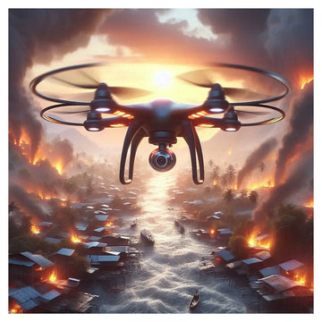
Floods
-
Surveying and Data Collection:
Rising waters can quickly cover large areas, making it hard to see what’s happening on the ground. Drones can fly low over flood zones, capturing real-time video and images. This helps officials spot weak spots in levees and identify areas at risk. -
Transporting Supplies:
When roads are submerged, getting food, medicine, and water to stranded residents is a huge challenge. Drones can carry lightweight supplies over the water, delivering essential items faster than traditional methods. -
Rescue Operations:
Drones can cover vast areas to look for people in distress. Once a stranded person is spotted, drones can either drop life-saving equipment or guide boats and ground teams to the exact location.
Forest Fires
-
Early Fire Detection:
Forest fires can spread rapidly, and early detection is critical. Drones with infrared cameras can quickly spot hotspots in remote areas, catching fires before they grow too large. -
Monitoring Fire Spread:
When a fire is underway, knowing its size, intensity, and direction is key to planning an effective response. Drones provide real-time maps and data that help firefighting teams track the fire’s progress and plan their moves accordingly. -
Direct Firefighting Support:
In some cases, drones can even drop small amounts of fire suppressant chemicals. While they can’t replace large-scale firefighting efforts, they can be crucial in hard-to-reach spots.
Geological Disasters (e.g., Landslides)
-
Mapping and Surveying:
After a landslide or similar event, the landscape can change dramatically. Drones can quickly capture detailed images of the area, helping experts understand the extent of the damage and plan recovery efforts. -
Ongoing Safety Monitoring:
There’s often a risk of secondary disasters, like additional landslides or mudflows. Drones can keep an eye on the terrain, alerting rescue teams if conditions look dangerous. -
Guiding Rescue Efforts:
In rugged or unstable areas, it can be hard for rescue teams to find the safest route. Drones can locate survivors and even drop markers to guide rescuers to where they’re needed most.
By adapting their tools and techniques to the specific challenges of each disaster, drones are proving to be indispensable allies in saving lives and reducing damage when nature strikes.


